Skip to content Skip to footer

INDUSTRIAL AND COMMETCIAL

Innovate with Intelligent aerial data.

Mapping

Map a large area in a fraction of the time.

Precise Volumetric Reports

Inventory management and financial planning

Advanced DRONE TECHNOLOGY

2D orthomosaic and 3D models sites for planning.

Safety & Risk Mitigation

Improve safety with remote inspections.

Innovate with us and turn aerial data into solutions.

About us

Drone automation

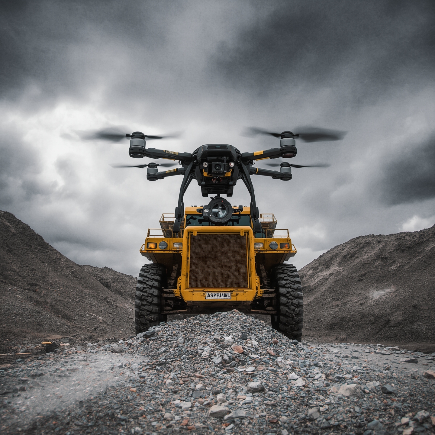
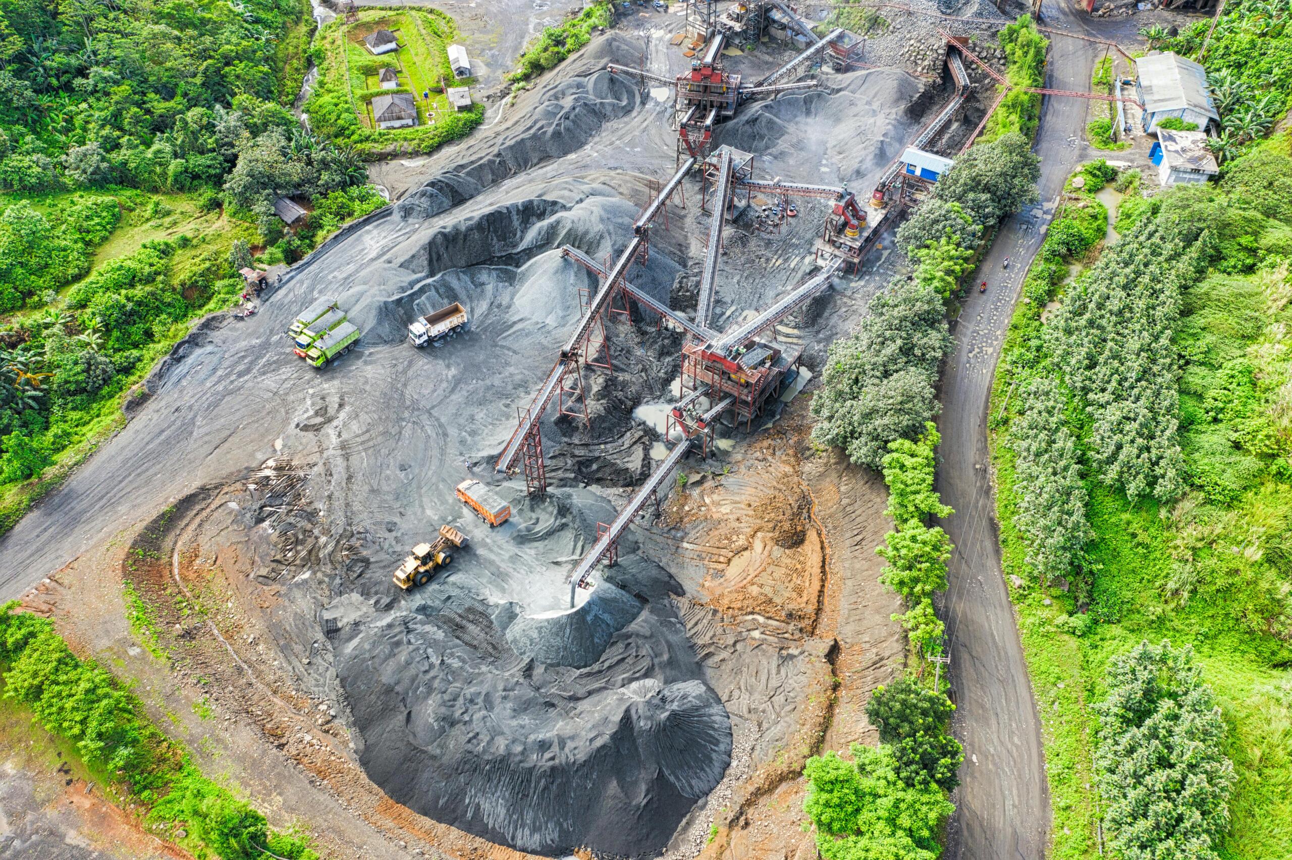
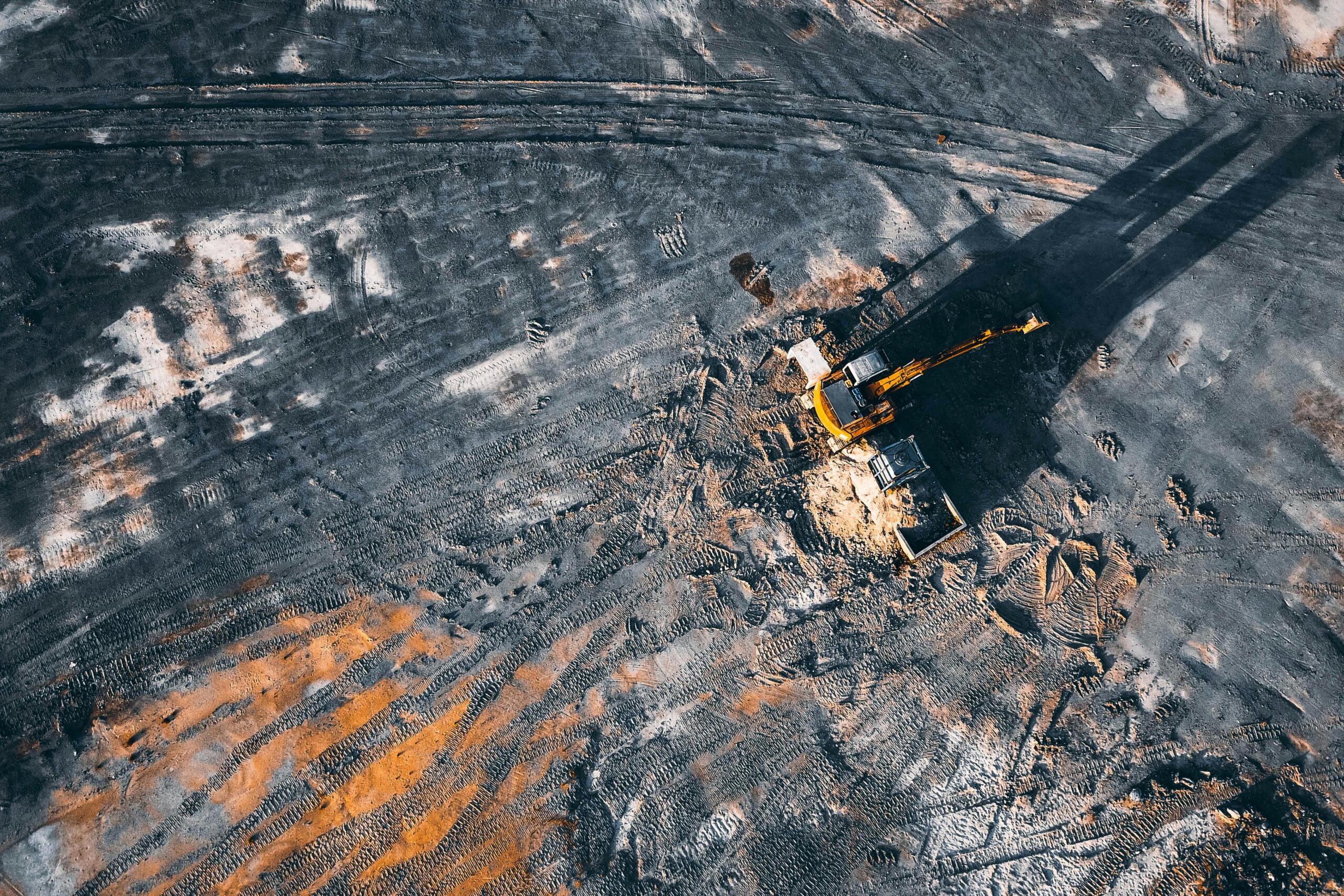
At Airspace Mining, we're not just flying drones—we're revolutionizing the mining and construction industries. We leverage advanced drone automation and cutting-edge sensors like LiDAR to provide a steady stream of intelligent, actionable data.

Our automated services include high-resolution mapping for precise mine planning, accurate volumetric calculations for inventory management, and remote inspections that keep your personnel out of harm's way in hazardous areas. We believe that a smarter, safer operation is a more profitable one. By transforming the sky into a source of vital insights, we give you a new perspective from above to help you navigate your world below.

Let’s fly

Our aerial intelligence turns your sky into your strategy

Our Service Areas

South Africa, Johannesburg, Limpopo, Rustenburg, Mpumalanga, Northren Cape.

Botswana, Gaborone

info@airspacemining.tech

Airspace Mining © 2025. All rights reserved.

Subscribe for the updates!